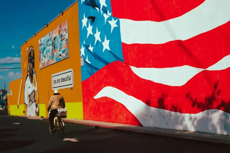

Creating a public art map involves more than simply plotting locations; it requires strategic planning to ensure the map serves its intended audience and objectives effectively. A well-executed public art map can drive tourism, enhance community engagement, provide educational resources, and establish a digital asset for cultural institutions or municipal bodies. Before committing resources, define the map's core purpose: is it primarily for visitors seeking attractions, for residents discovering local heritage, or for researchers cataloging urban art? This initial clarity will dictate subsequent decisions regarding data collection, platform choice, and user experience design.
Defining Scope and Audience
The initial phase demands a precise definition of the map's scope. This includes geographic boundaries—whether a specific neighborhood, an entire city, or a broader region—and the types of art to feature. Will the map include murals, sculptures, installations, street art, or a combination? Establishing these parameters prevents scope creep and ensures a focused, manageable project. Simultaneously, identify the primary user demographic. Tourists may prioritize ease of navigation and highlights, while local residents might seek deeper historical context or information on emerging artists. Educational users could require detailed metadata, artist biographies, and thematic groupings. Understanding these user needs directly informs the map's functionality and content depth.
Geographic and Artistic Boundaries
Specificity here is crucial. A map covering "all public art" in a major metropolis is an overwhelming undertaking. Consider starting with a defined district or a particular art movement. For instance, a map focusing solely on "1970s public sculptures in downtown" offers a clear, achievable project. This approach allows for thorough data collection and a high level of detail for each entry, which users often value more than a sparse, broad overview. As the project matures, expansion into adjacent areas or different art forms can be planned incrementally.
Audience-Centric Features
Tailoring features to the audience maximizes utility. For tourist-focused maps, prioritize intuitive routing, proximity searches, and high-quality photography. For educational platforms, incorporate filters by artist, date, or medium, alongside links to external resources or artist websites. Community-focused maps might benefit from user submission features (with moderation) or integration with local event calendars. Each feature should directly address a known user need, adding concrete value to their interaction with the map.
Data Acquisition and Curation
The quality of a public art map hinges on the accuracy and richness of its underlying data. This involves meticulous collection of information for each art piece. Essential data points include the exact GPS coordinates, artist name, artwork title, year of creation, medium, and a high-resolution photograph. Beyond these basics, consider adding contextual information such as a brief description of the artwork's history or significance, artist biography, and relevant historical notes about the location. Legal considerations, particularly regarding image rights and artist permissions, must be addressed proactively to avoid future complications.
Pro Tip: When collecting data, always capture multiple high-resolution photographs from various angles, including contextual shots that show the artwork within its environment. These images are invaluable for both visual appeal and for helping users identify the piece in person. Document any existing plaques or signage as they often contain official titles and dates.
Establishing Data Standards
To ensure consistency and facilitate future updates, develop a clear data standard or schema. This might involve using a spreadsheet with predefined columns for each data point or adopting existing metadata standards like Dublin Core or schema.org. Consistent data entry simplifies database management, improves search functionality, and makes the map more accessible to external systems or APIs if future integrations are planned. Implement a robust verification process for all collected data, cross-referencing information from multiple sources where possible.
Rights and Permissions
Before publishing any images or detailed information, secure necessary permissions. This includes obtaining consent from artists or their estates for reproducing images of their work, especially if the art is not in the public domain. For privately owned public art, permission from the property owner may also be required. Clear documentation of these permissions is critical for legal compliance and ethical practice. Consider including a disclaimer on the map regarding copyright and usage.
Platform Selection and Technical Implementation
Choosing the right technology stack is a foundational decision impacting the map's scalability, functionality, and long-term viability. Options range from simple embedded Google Maps interfaces to custom-built GIS (Geographic Information System) applications. Factors to consider include budget, technical expertise available for development and maintenance, desired features (e.g., routing, filtering, user accounts), and the need for offline access. Web-based solutions offer broad accessibility, while dedicated mobile apps can provide enhanced performance and device-specific features.
Mapping Technologies and Hosting
For basic mapping needs, platforms like Mapbox or Leaflet.js offer customizable base maps and markers, often with generous free tiers for initial development. For more complex requirements, such as spatial analysis or large datasets, dedicated GIS platforms or cloud-based mapping services (e.g., ArcGIS Online) may be more suitable. Hosting choices depend on the platform; custom web applications require web hosting, while app-based solutions need distribution through app stores. Prioritize platforms with robust API documentation and active developer communities for ongoing support.
User Interface and Experience Design
A well-designed interface ensures users can easily find and interact with the art. Key UI/UX considerations include:
- Intuitive Navigation: Clear menus, search bars, and filter options (by artist, medium, neighborhood).
- Visual Hierarchy: Distinguishing primary information from secondary details.
- Responsive Design: Ensuring optimal viewing and functionality across desktops, tablets, and mobile devices.
- Accessibility: Adhering to WCAG guidelines, providing alternative text for images, and ensuring keyboard navigation.
- Interactive Elements: Clickable markers, pop-up information windows, and integrated photo galleries.
Conduct user testing with representatives from the target audience to identify pain points and optimize the interface before launch.
Launch and Ongoing Management
After development and testing, a strategic launch plan is essential for visibility. This includes promoting the map through relevant channels such as local tourism boards, cultural organizations, social media, and local news outlets. Post-launch, the map requires continuous maintenance to remain accurate and relevant. Public art is dynamic: new pieces are installed, existing ones are removed or relocated, and their condition changes. Establishing a clear process for updates and content moderation is critical for the map's long-term utility and credibility.
Promotion and Outreach
Leverage partnerships with local government, art councils, and community groups to amplify the map's reach. Develop press materials and engage with local media. Consider creating QR codes at physical art locations that link directly to the map entry for that piece, bridging the physical and digital experience. Integrating social sharing features within the map can also encourage organic promotion by users.
Sustaining Accuracy and Relevance
Implement a schedule for regular data review and updates. This might involve quarterly checks for new installations or removals, and annual reviews of all existing entries. Establish a feedback mechanism for users to report inaccuracies or suggest new art pieces. Assign clear roles for content managers responsible for vetting new submissions, updating information, and ensuring the map's integrity. A well-maintained map fosters trust and encourages repeat engagement from its audience.
Frequently Asked Questions
What are the essential data points for each artwork?
Essential data includes exact GPS coordinates, artist name, artwork title, year of creation, medium, and at least one high-resolution photograph. Contextual details like a brief description and artist biography enhance the entry.
How do I handle copyright for artwork images?
Always seek permission from the artist or their estate for image reproduction, especially if the artwork is not in the public domain. Document all permissions obtained to ensure legal compliance.
What is the best way to promote a new public art map?
Promote through local tourism boards, cultural organizations, social media, and local news. Consider partnerships with government and community groups, and use QR codes at physical art locations to link to the map.
How often should a public art map be updated?
Regular updates are crucial. Implement a schedule for quarterly checks for new installations or removals, and an annual review of all existing entries to maintain accuracy and relevance.